This morning at 10:40am, I registered as hiker 534 at the Amicalola Falls Visitor Center, said my goodbyes to dad, and set off to attempt to hike the Appalachian Trail.

While Springer Mountain is the official southern terminus of the AT, nearly all northbound hikers register at Amicalola and hike the 8.8 mile approach trail to the summit of Springer for the official start.
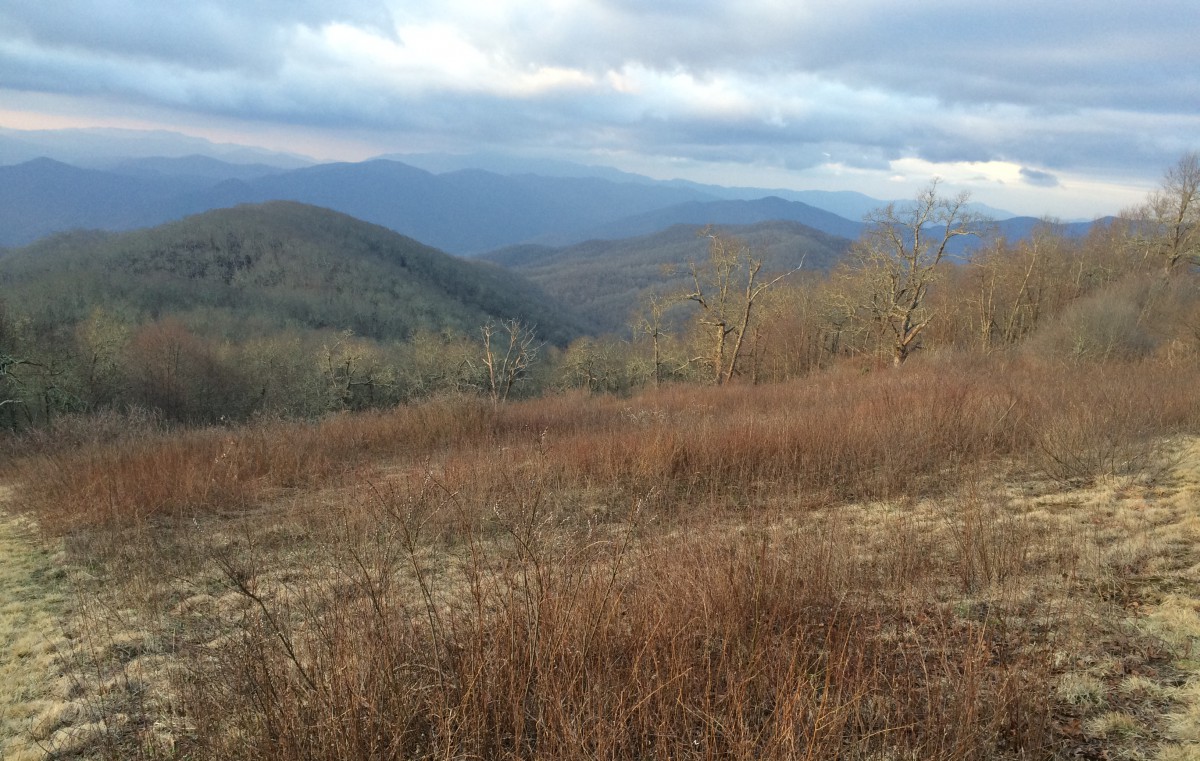
Today’s hike started at the base of the falls and followed the approach trail north. It’s been a while since I’ve been in this part of the world and I miss it. Don’t get me wrong, the Cascades and Olympics in Washington are beautiful, but there’s something haunting about the North Georgia Mountains.
While the trees are still bare and dead leaves still litter the forest floor, the weather couldn’t be better. Shortly after reaching the top of the falls and making it a couple miles or so down the approach trail, the warm weather forced me into shorts and a t-shirt. It was a beautiful day with blue skies and a nice breeze ahead of this storm moving in.
As I stopped to eat lunch at a campsite just off the trail, I met another hiker and spent the afternoon trading leads as we worked our way towards Springer. Over the course of the approach trail, you gain about 2000 feet in elevation. It made for slow goings.
It’s gonna take some time getting used to having a 40 pound pack strapped to my back. There were some stretches during today’s hike that really forced me to slow down. I’m thankful I decided to hike with trekking poles – they really make a world of difference, especially when heading downhill.
I did run into a little snag with my water filtration system. My plan was to use a 96 oz Platypus collapsible water bag as my “dirty bag” and just filter the water from the Platypus into one of two water bottles that I carry for drinking and cooking only. After filling up at a stream before I left the falls, it didn’t take long to realize the that the Platypus had a hole on the seam. It went straight in the trashcan.
For the time being, I’m left with my two water bottles, one now taking the place of the dirty bag. If anything, it’s tedious – I’ll buy another bag soon.
Around 4:00, I reached the summit of Springer and was able to take my first official steps on the AT. And 0.2 miles later, I stopped for the night. While I felt I could have gone further, I really didn’t have any options with it already being so late in the afternoon.

I enjoyed the hike into camp. After a curious encounter with a hiker near the first set of campsites, I finally found my way down to the shelter and met a small group of AT hikers that had assembled there this evening – probably about 8 total.
I had just enough time to set up my tent, make dinner, hang my food bag, gather water and wash up before the sun went down.
The rest of my gear works great – I like my stove and made a pretty tasty dinner of couscous, fresh kale and bacon. I’ll probably do it again.
I’m trying to think of clever ways to make life a little easier on the trail. I’ve got my already funky socks hanging on the inside of the tent to dry them out, along with my camp towel and underwear, both airing out in this built-in mesh basket.
As for the upcoming days, bear canister regulations kinda force your hand as to how far you can hike before you hit Blood Mountain, the highest point on the AT in Georgia. For tomorrow, it looks like I’ll either have 8.1 miles to the Hawk Mountain Shelter or 15.8 miles to the Gooch Mountain Shelter – there’s unfortunately no stops in between.

I’ll just have to wait and see. I’m feeling good about this thing. I really couldn’t be happier. I’m thankful I trained before leaving, that’s for sure.
In keeping with the idea that I’d really like to keep as detailed an account as possible as to what I eat, how much I spend, etc., I figured I should just list all of that stuff towards the end of each entry.
Breakfast: port tenderloin biscuit
Lunch: 3.25 oz bag of teriyaki beef jerky, about 6 oz of Dot’s pretzels
Dinner: 4 oz almonds, couscous with bacon and kale (about 2 cups)
As I’m wrapping this up, about to start uploading photos, it’s starting to rain, nothing heavy, just a light Seattle-style shower. I didn’t think this was supposed to come in until tomorrow.

Hope the rain stays away today. Glad stuff is working out (except water bag). Have fun!
LikeLike
Congratulations Chris on the start of your trip. My grandson Graham Fillo and his pal Lane started the 1st of February and hit a lot of snow. They are now in Virginia I believe. Good luck and have fun on this journey. Liz Fillo, Princeton, NJ.
LikeLike